
NAVTOR introduces faster vessel tracking through NavFleet AIS streaming
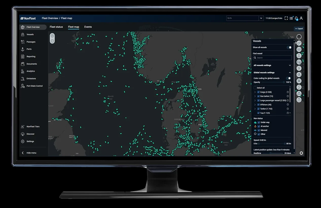
Norwegian maritime technology company NAVTOR has introduced AIS streaming to its NavFleet platform, allowing shore-based fleet management teams to monitor vessel movements through more frequently updated position data.
The new functionality forms part of NavFleet version 2.7.1, which is being made available to existing monitoring subscribers through an automatic upgrade. According to NAVTOR, the system can deliver vessel position updates every 5–40 seconds, compared with previous intervals of approximately 15–20 minutes.
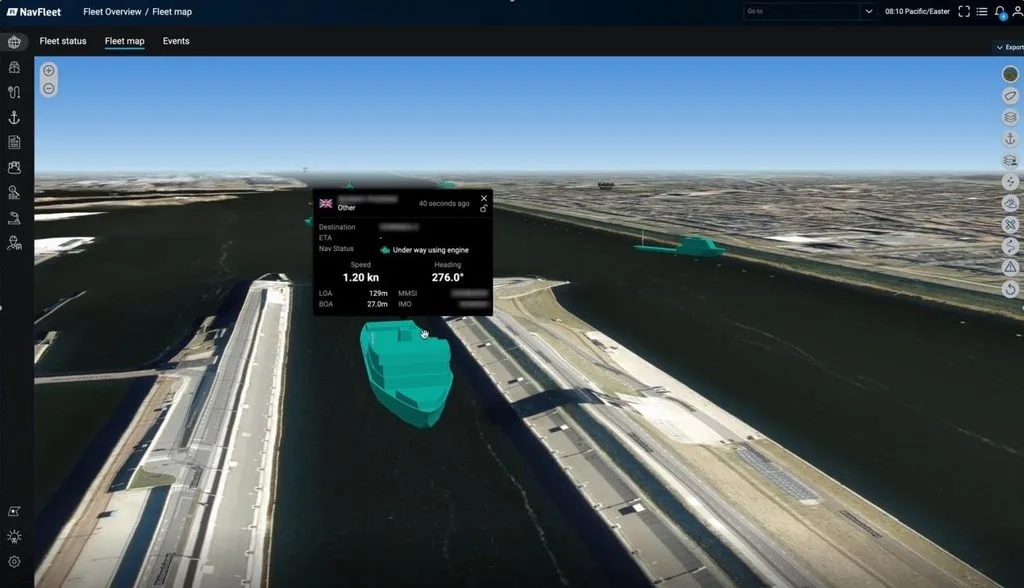
The company is introducing the capability through a phased rollout, gradually increasing the number of vessels displaying near-real-time AIS positions. The service is included in NavFleet Monitoring subscriptions without additional charges, with NAVTOR indicating that the capability is intended to cover more than 200,000 vessels on the platform.
The development is designed to improve operational awareness by allowing fleet managers to view vessel positions, speeds and headings alongside information about surrounding maritime traffic and operating conditions.
Vessel data integrated into fleet monitoring
NAVTOR’s approach uses its existing digital infrastructure to collect and distribute AIS information.
The company’s NavBox gateway, which supports data exchange between vessels and shore-based systems, can capture and transmit AIS data through a proprietary low-bandwidth network.
This enables NAVTOR to provide vessel position information within its fleet management platform while reducing reliance on separately purchased high-frequency tracking data.
Tor Håkon Svanes, NavFleet Platform Manager at NAVTOR, said the additional information would enable fleet managers to make more timely operational decisions and improve their understanding of vessel movements and surrounding traffic.
The new version also introduces additional operational map layers, including Important Marine Mammal Areas, Whale Conservation Zones, Polar Code Areas and IMO Special Areas.
These layers are intended to provide operational and geographical information within the same interface used for vessel monitoring. The update also expands document-sharing capabilities between onboard personnel and shore-based teams.
Further development planned
NAVTOR is also developing a playback function that will allow users to review historical AIS streams and reconstruct vessel movements.
The planned capability could support the examination of incidents by providing historical information about vessel positions, speeds and movements alongside other operational data. However, this functionality is intended for a future release and is not part of the currently available AIS streaming upgrade.
The company said its wider digital ecosystem supplies maritime technology products and services to more than 18,000 vessels worldwide.
NavFleet 2.7.1 is available to existing monitoring subscribers, while AIS streaming access through the NavFleet mobile application is scheduled to become available in December 2026.